
Aerial 2D and 3D Mapping
High resolution 3D mapping of many types of structures can be created for interactive viewing from all sides. The maps can be embedded into websites and/or 3D printed.
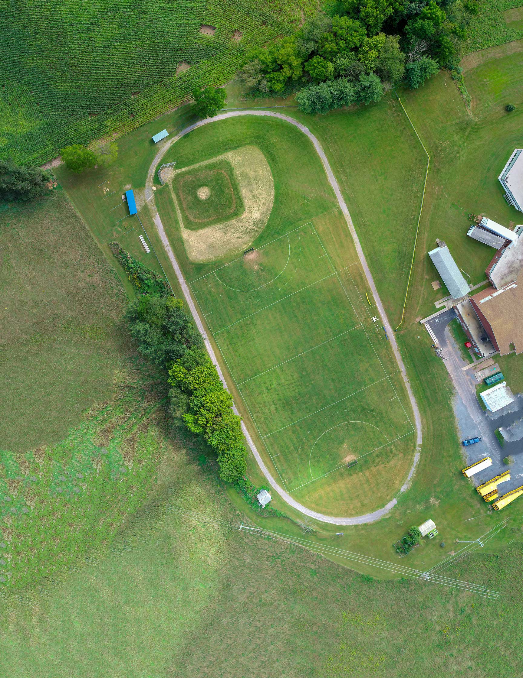
Orthomosaic or 2D mapping can be used to estimate property lines and/or spacial representation between structures. *Drone Deployment Services can create the orthomosaic image and will provide sub survey grade length and volume measurements.
*(Disclaimer - These images are not survey grade, nor performed by a licensed surveyor.)
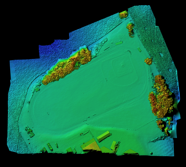
Digital Elevation Mapping (DEM) allows the ability to determine ground levelness. Drone Deployment Services can create a detail map to identify low laying areas that may be prone to flooding.
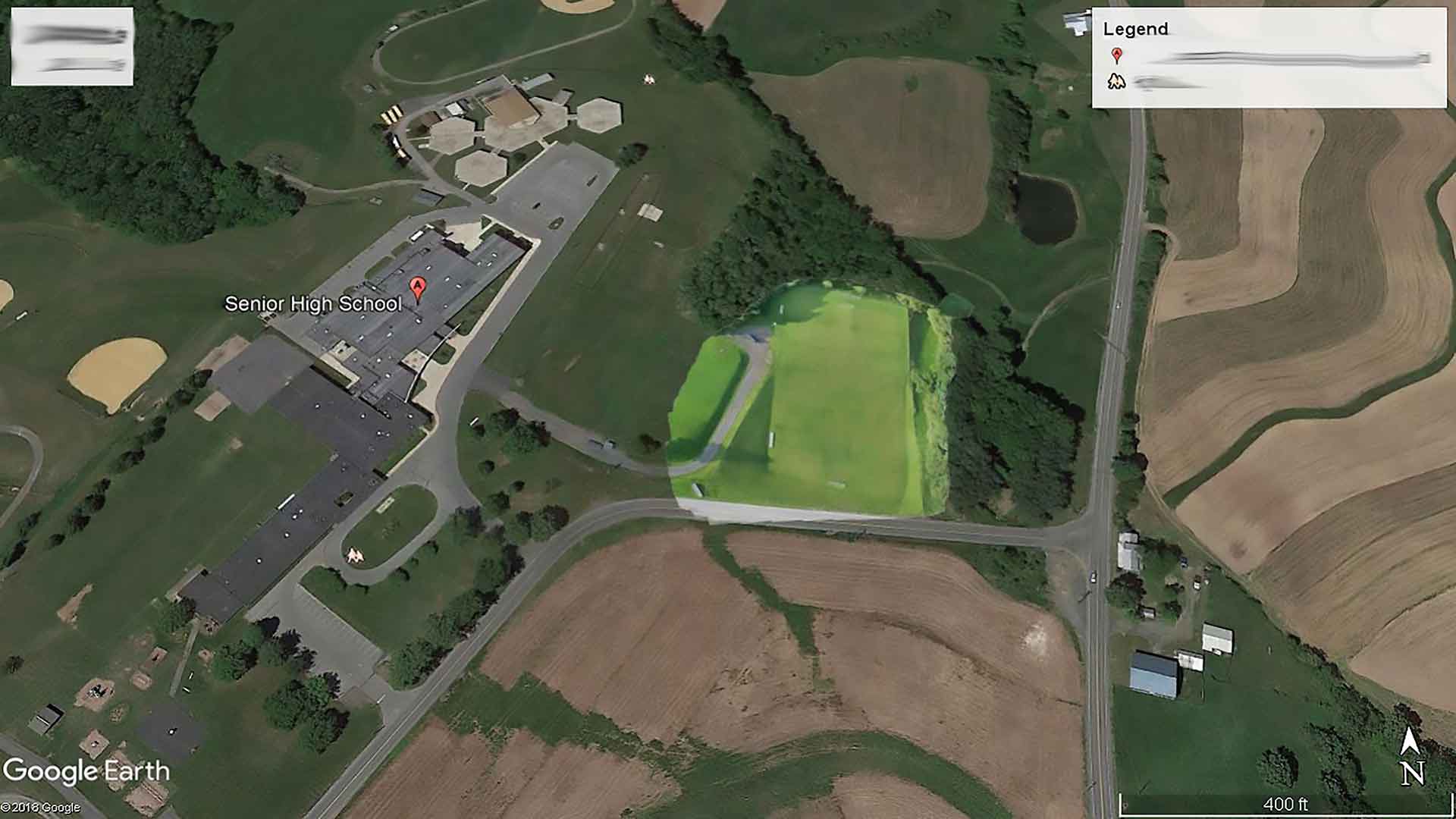
Creating a 3D map of property or construction site can be overlaid in Google Earth. This will allow tracking of progress without the need for waiting on a Google Earth update.